
A weather system originating from Scandinavia is anticipated to bring freezing conditions to the UK in early February, with snowfall predicted according to the latest forecasts on the WXcharts interactive weather map, utilizing data from the Met Office. The projections suggest that snowfall could commence from February 6th, particularly affecting northern England and Scotland. There is even a possibility of some areas experiencing snowfall in the current timeframe, particularly over the elevated terrain of the Pennines.
The impending wintry conditions coincide with a danger to life warning issued by the Met Office due to the forecasted winds reaching speeds of up to 85mph in certain parts of northern Scotland. The warning period spans from 5am to 7pm on Wednesday. The Met Office cautions that this could lead to disruptions in bus and train services, along with anticipated power outages in various regions.
Meanwhile, a notable weather occurrence took place in the Scottish village of Kinlochewe, which provisionally set a new UK temperature record for January. The village recorded a temperature of 19.6°C on Sunday, surpassing the previous January record of 18.3°C set in various locations in 2003, 1958, and 1971. This unusual warmth marks a departure from the wintry conditions expected in the coming weeks.
As the UK braces for the potential impact of the Scandinavian weather system, residents are advised to stay informed about updates from the Met Office and take necessary precautions to mitigate the effects of the impending winter weather.
 Anticipated Snowfall Across England and Wales Prompts Yellow Weather Warning
  Met Office Issues Uncommon Amber Snow Warning Amidst Near Record-Low Temperatures in the UK
  Met Office Alerts UK to Subzero Freeze and Continued Snowfall Amid Flood Concerns
  UK Weather Update: More Snow Forecast as Country Braces for -9C Cold Snap; Extensive Flood Alerts Remain
  UK Weather Alert: Met Office Warns of Heavy Snow, Week-Long Cold Snap
 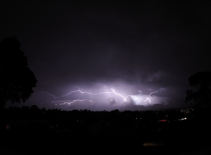 Travel Disruptions Persist as ‘Supercell Thunderstorm’ Hits During Storm Gerrit’s Latest Updates
  UnitedHealth Shares Plunge Nearly 20%, Dragging Dow Jones Down by 700 Points
  Instagram ‘Challenge Required’ Error – What It Means and How to Fix It
  Sony Increases PlayStation 5 Prices in Europe, Australia and New Zealand Amid Economic Turmoil
  Major Berlin Real Estate Firm Ziegert Files for Insolvency After Four Decades